Skip to content
Home
About
Welcome
Who We Are
Governance
Staff
Apply
Directions
Accessibility
Communities
Barrington
Brookfield
Dover
Durham
Farmington
Lee
Madbury
Middleton
Milton
New Durham
Newmarket
Northwood
Nottingham
Rochester
Rollinsford
Somersworth
Strafford
Wakefield
Engage
Civil Rights
Committees
Notices and News
Blog
Social Media
Press Releases
Newsletter
Bits and Pieces
Calendar
Measure
Mapping and GIS
Data Collection
Performance Measures
Data Snapshot
Dashboards
Plan
Core Plans
Project Portal
Municipal Assistance
Economic Development
COVID-19 Recovery
Transportation
UPWP
Environment
Climate Adaptation and Resilience
Conservation and Natural Resources
Energy
Watershed Planning
Services
Reference
Acronyms
Document Library
Map Gallery
Meeting Material Archive
Resources
Economic Development Resources
Environment Resources
Age-Friendly Resource Guide
Land Use Resources
Mapping/GIS Resources
Transportation Resources
Search
SRPC has a new domain!
strafford.org is now StraffordRPCnh.gov
×
Topic: Data Collection
Bicycle Level of Traffic Stress Executive Summary
March 16, 2020
Bicycle Level of Traffic Stress Report
March 16, 2020
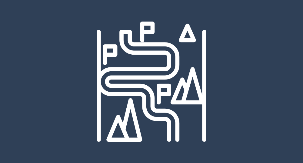
Pathways to Play Maps
January 7, 2020
Dover Urban Street Tree Inventory and Plan
January 1, 2020
SRPC Annual Report FY 2019
November 26, 2019
Rochester Sidewalks Inventory Maps
November 14, 2019
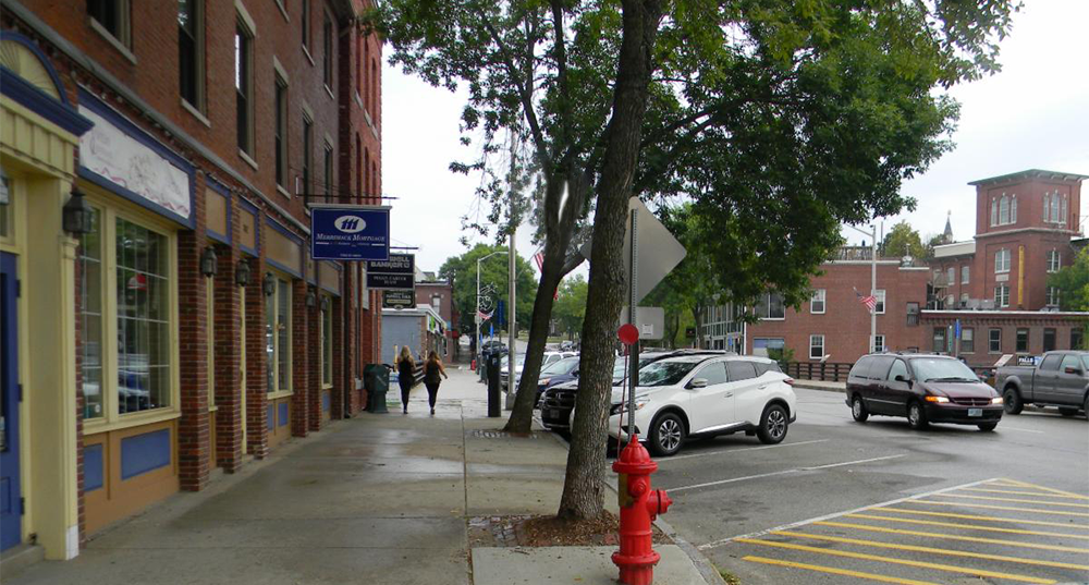
Sidewalk Assessments
August 27, 2019
Traffic Count Safety Policy
April 19, 2019
Nottingham 2019 RSMS
March 1, 2019
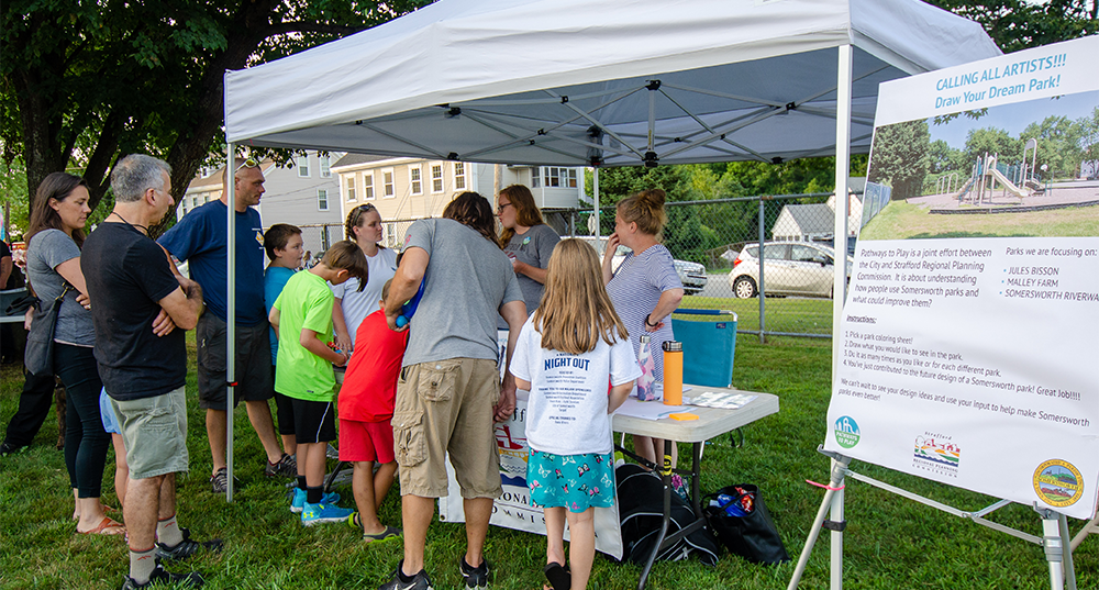
Pathways to Play
January 1, 2019
SRPC Annual Report FY 2018
November 22, 2018
Bicycle and Pedestrian Counts
September 14, 2017
Trail Mapping
August 29, 2015
Local Solutions Appendix: Environment
January 29, 2015
Local Solutions Appendix: Outreach
January 29, 2015
Custom Mapping and Analysis
August 30, 2014
Pavement Conditions
August 27, 2011
Building Permit Reporting
August 27, 2010
Traffic Counts
August 27, 2005
Page
1
Page
2
Page
3
Page
4